Where the Water Actually Is: Mapping Ice at the Lunar South Pole
How lunar ice was detected, why permanently shadowed regions matter, and what still separates a detection from a landing-quality map.
LCROSS and the first direct detection
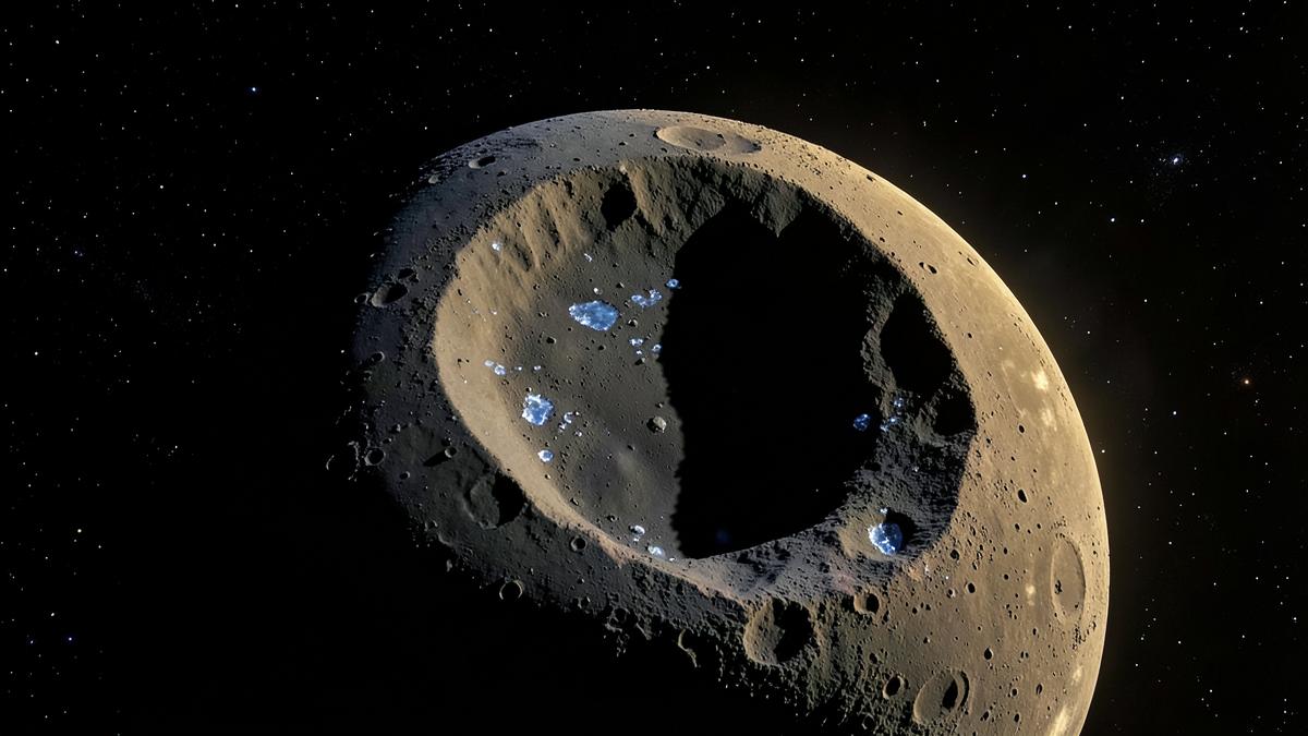
On 9 October 2009, a spent Centaur upper stage slammed into Cabeus crater near the Moon's south pole. A shepherding spacecraft followed seconds later, flying through the debris plume before it too hit the surface. The LCROSS mission had just turned a shadowed crater floor into a temporary atmosphere. Spectroscopes on the shepherding spacecraft saw water vapor and ice grains directly. Colaprete et al. published the detection in Science the following year. That was the moment the idea of lunar water stopped being theoretical.
Detection is not a landing-quality map
But one confirmed plume is not a map. LCROSS told us ice exists in at least one permanently shadowed region. It did not tell us how much, how deep, or how widely distributed. That distinction, between detection and mapping, still defines the work ahead.
The first widespread hint had arrived a month earlier. Chandrayaan-1's Moon Mineralogy Mapper, built by NASA JPL and operated by ISRO, reported OH and H2O absorption features across much of the lunar surface in a paper published in Science on 24 September 2009. The signal was stronger at high latitudes. Then, in 2018, Li et al. used M3 data plus temperature constraints to confirm surface-exposed water ice at both poles, concentrated in permanently shadowed regions. The south pole held the stronger signature.
How orbiters map the lunar south pole
NASA's Lunar Reconnaissance Orbiter, launched in June 2009, gave the south pole its spatial backbone. LAMP looked for far-ultraviolet signatures of frost on PSR floors. Diviner measured surface temperatures. LEND mapped hydrogen abundance. LOLA produced the topographic models that identify which crater floors never see the Sun. The combined picture is compelling: cold traps at 25–70 K where water ice can remain stable for billions of years.
Yet even LRO's narrow-angle camera cannot see inside the darkest PSRs. That gap is what Korea's ShadowCam, flying on the Danuri orbiter since December 2022, is designed to fill. ShadowCam images PSR interiors at 1.7 metres per pixel, roughly 200 times more sensitive than LRO's camera. It has already returned images of Shackleton crater's floor and other south-pole terrain never directly seen before.
Lunar Trailblazer was meant to advance the chemistry side. The small orbiter, launched on 26 February 2025, carried a visible and infrared imaging spectrometer intended to map water abundance, form and time variability across the surface. Contact was lost the day after launch. NASA ended the mission on 31 July 2025. The loss is a reminder that mapping the Moon is not only a science problem; it is also a reliability problem.
What a usable prospecting map still needs
A usable prospecting map needs four things that no single instrument currently delivers together. It needs metre-scale surface imaging to find safe landing spots and traverse routes. It needs depth-resolved data to know whether ice is a surface frost, pore fill, or buried layer. It needs concentration estimates, because a few per cent ice in regolith is a different engineering problem from a clean slab. And it needs to know the chemical form, since water bound in minerals requires more energy to extract than water ice.
SpaceOro's RedLunar concept is built around that gap. The RedTransporter mission page describes the transport layer we want to enable, but transport only matters once there is a destination worth reaching. That is why a small lunar orbiter focused on the south pole comes first.
The next article explains why a moonbase needs a map before it needs a building. Site selection is not a planning detail. It is the constraint that drives habitat design, power architecture, thermal control and every surface operation that follows.